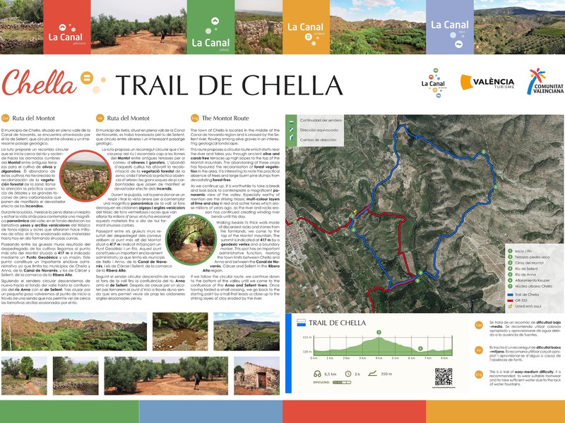
Chella Trail (Montot Route)
This trail is part of the mountain race known as the Trail del Salto, which takes place in the town

This trail is part of the mountain race known as the Trail del Salto, which takes place in the town
This route covers a distance of 5440m (approximately 2 hours and 54 minutes), with a circular itinerary of medium difficulty.
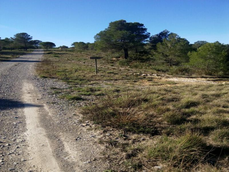
The trail runs through the highest and most inaccessible part for road traffic of the municipal area of Bolbaite, sharing
This is a 6,120 m long linear trail with low difficulty. It starts at Cantalavieja and is accessible from the
The Bolbaite agro-forestry trail is a path that, as its name suggests, traverses the ancient mountain areas transformed by humans
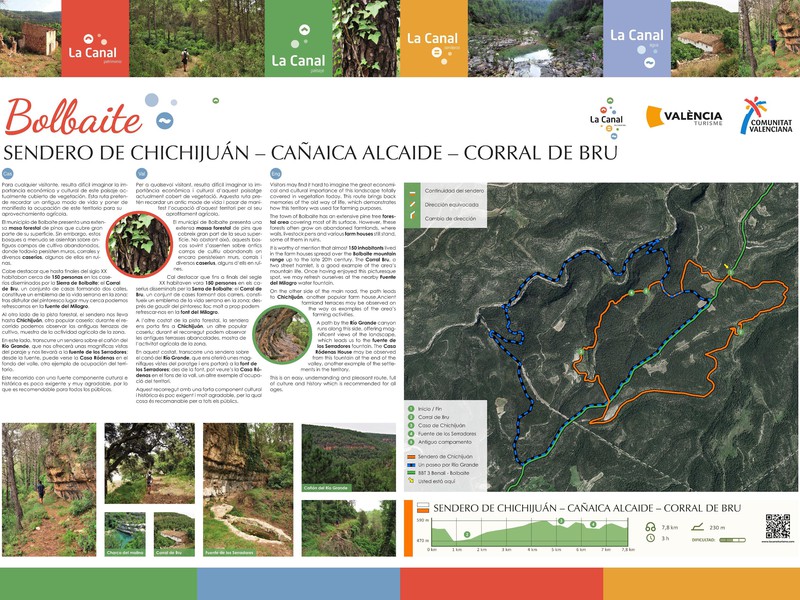
This trail runs through the upper part of the municipal area, on the border with Enguera, passing through hamlets, pens,
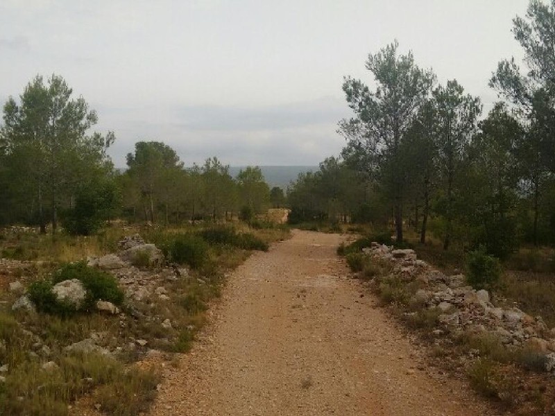
This route has 8480m of distance (approximately 55 minutes, its itinerary is circular, of low difficulties, with a maximum altitude
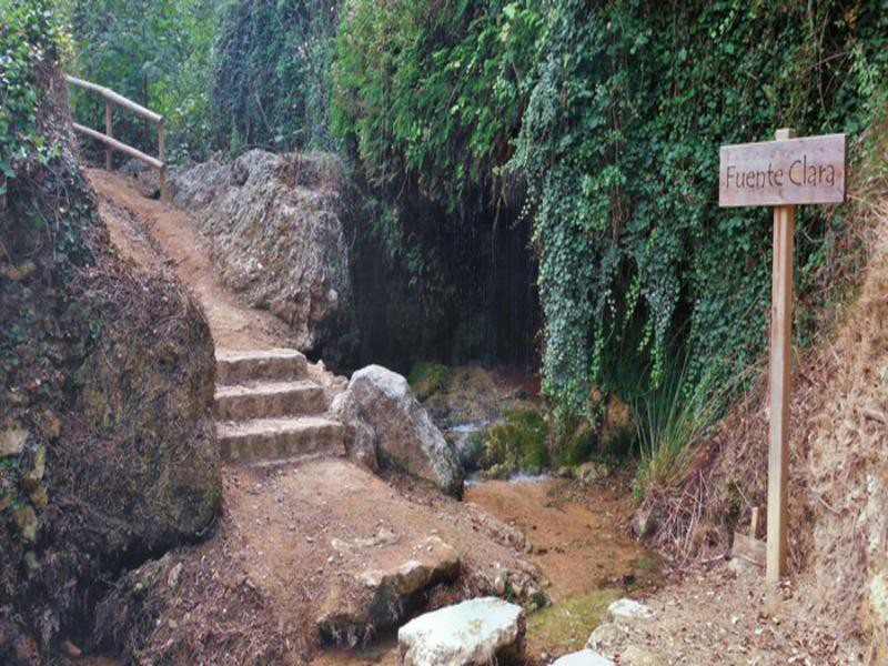
This is a fairly simple route with the attraction of the Chorradores. There are two different itineraries available: 1. Via
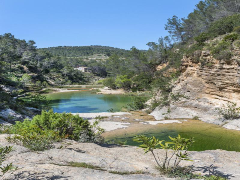
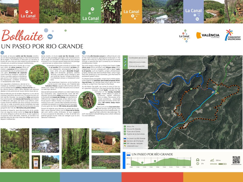
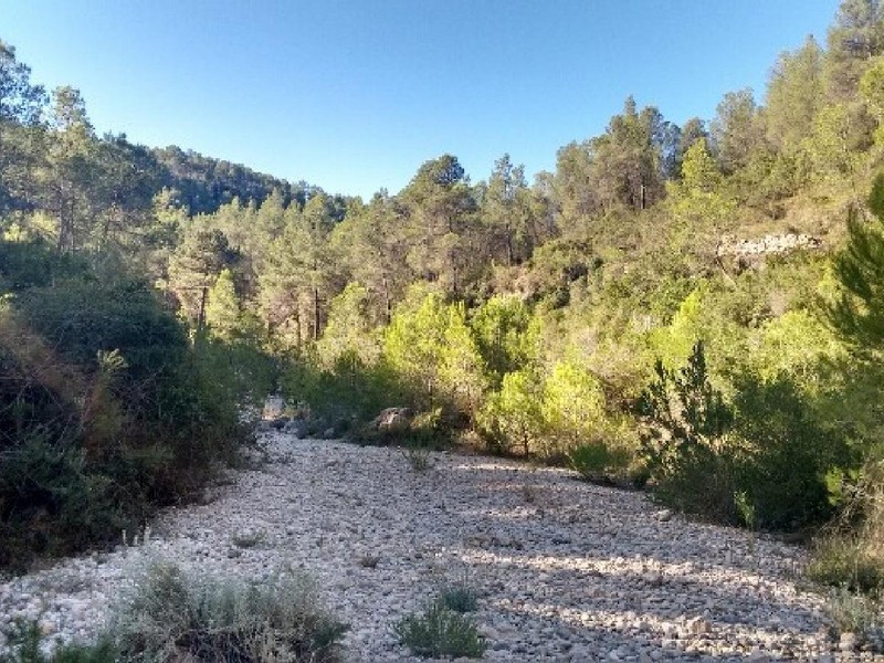
This route takes us through one of the most beautiful places in this area, where the water has sculpted gorges
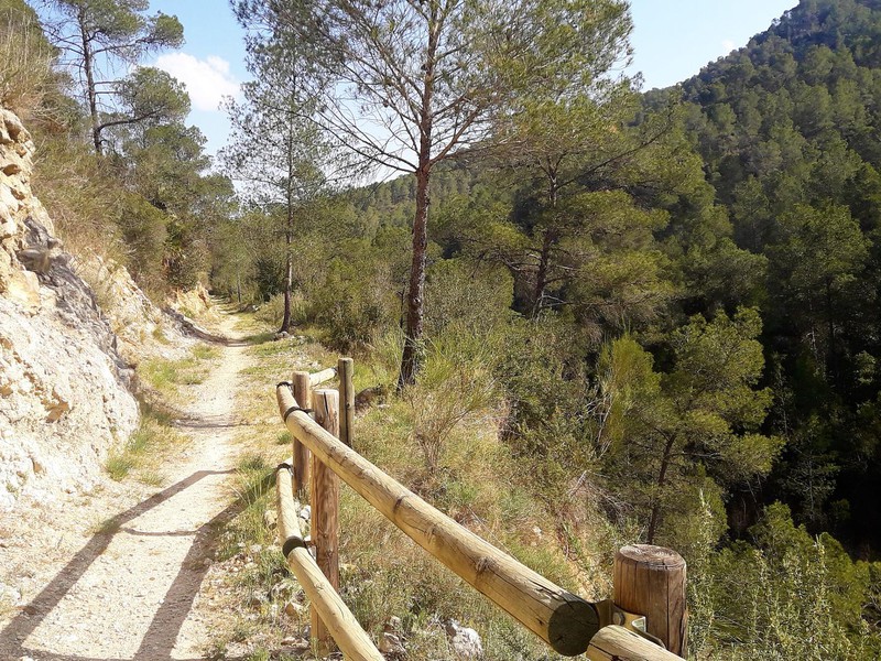
The path of the Cinglas owes its name because it passes between large limestone cuts called “belts” forming spectacular balconies.
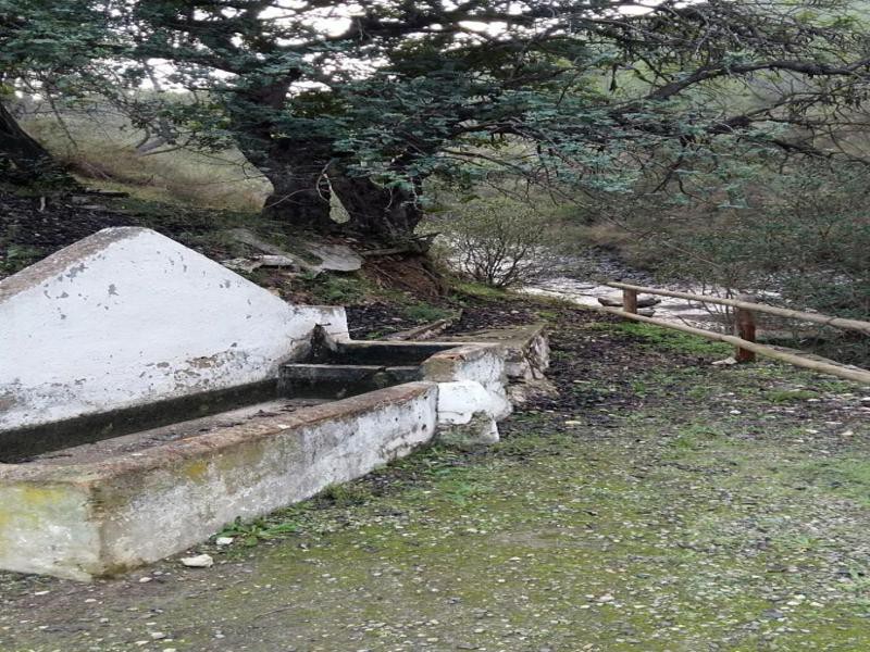
The route of the Sources tries to unite tradition and history through a circular route where the town of Quesa
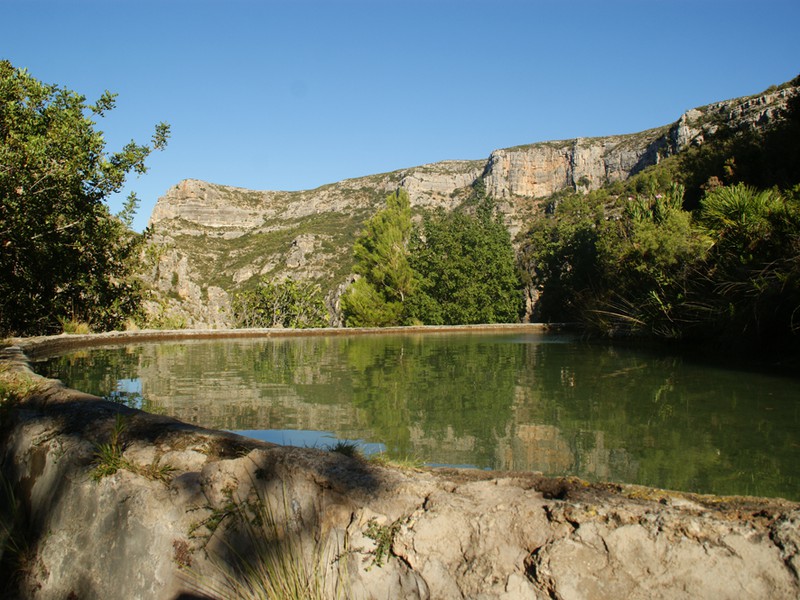
The Nacimiento is a tributary of the Júcar River whose source is in La Loma del Nacimiento, 4 km from
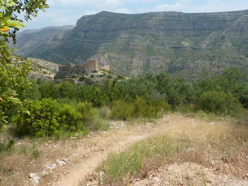
The Barraca de Tomás-Cingla de la Cava Route runs through the western end of the municipality of Millares, it covers
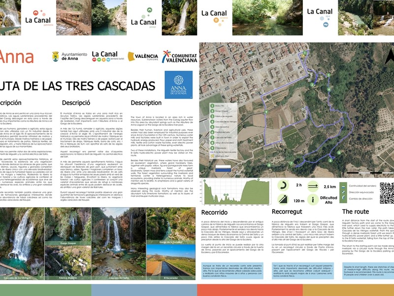
The Route of the 3 Waterfalls of Anna is one of the most spectacular hiking trails in the province of
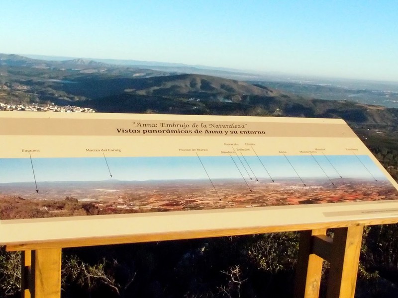
2.89 km route that accesses the Punta de Anna along the Rabbit path.