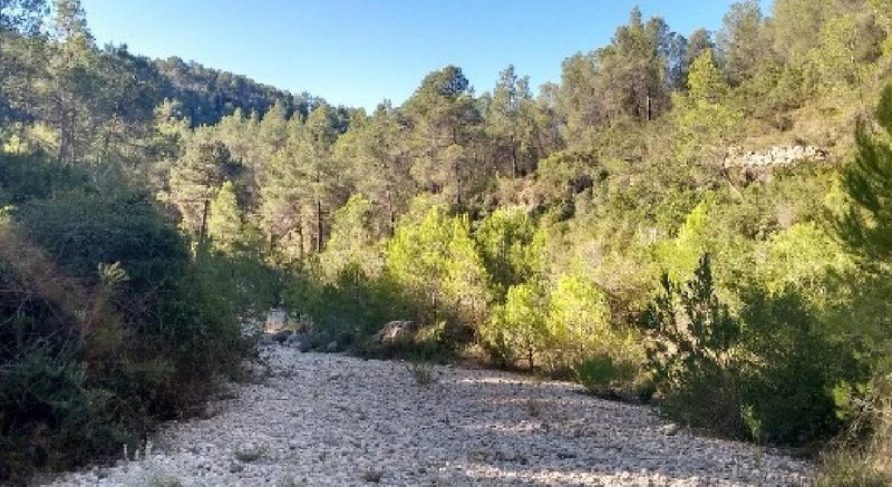
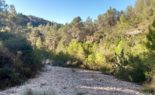
Cantalavieja Route: heart of the ravine (Bolbaite)
This is a 6,120 m long linear trail with low difficulty. It starts at Cantalavieja and is accessible from the road of the same name. The Cantalavieja trail follows the old access road for the construction of a dam in the middle section of the ravine, which you will find 2,700 meters upstream.
The trail runs along the ravine bed and its banks, in a changing route due to the ravine’s floods, but without getting lost. The hiker is accompanied by lush vegetation predominantly of Aleppo pine, and there are preserved old farmlands protected by dry stone walls. It is not suitable for hiking during heavy rainy seasons.
With a maximum altitude of 458 meters above sea level and a minimum of 382 meters above sea level, it has a vertical drop of 282 meters.
This website uses cookies so that we can provide you with the best user experience possible. Cookie information is stored in your browser and performs functions such as recognising you when you return to our website and helping our team to understand which sections of the website you find most interesting and useful.
Strictly Necessary Cookies
Strictly Necessary Cookie should be enabled at all times so that we can save your preferences for cookie settings.
If you disable this cookie, we will not be able to save your preferences. This means that every time you visit this website you will need to enable or disable cookies again.