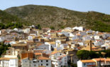
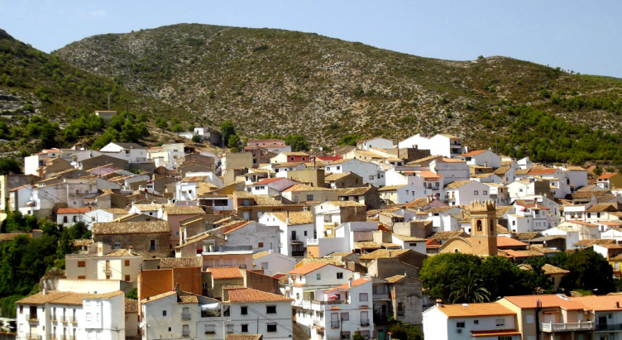
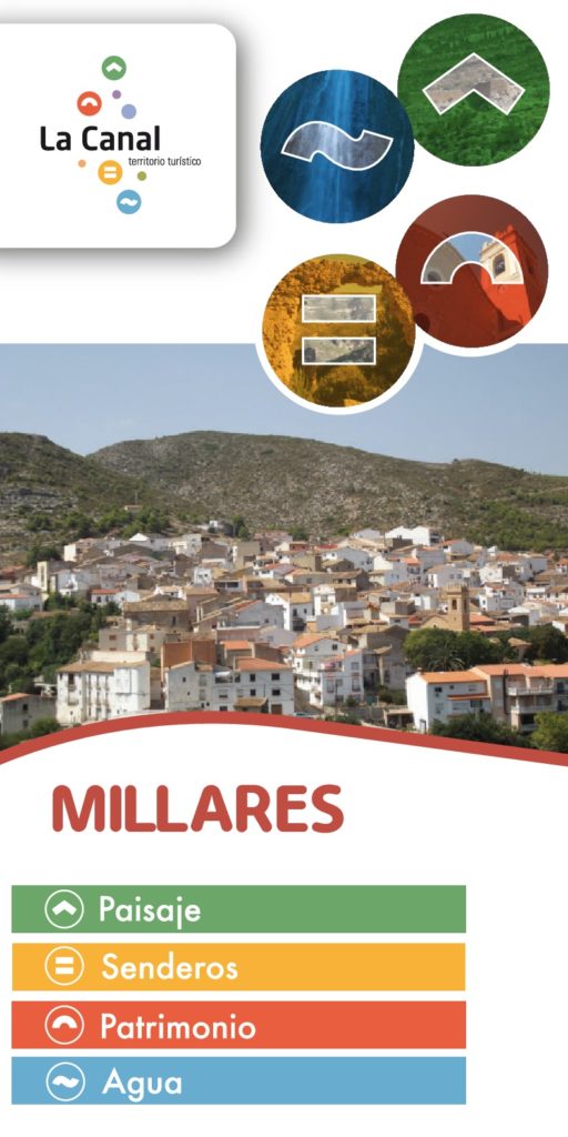
Millares is strategically located on the bank of the Xúquer River. It was a border town in the Moorish and medieval eras, as shown by its many defensive fortresses dating back to the 12th century, such as El Castillet, El Corral Antón Castle and the Torre de Cavas, as well as a section of wall from the urban fortification located in the highest part, which protected the Moorish farmstead. The area was the setting for important historical events such as the Moorish revolt of 1609.
A past that can still be felt while exploring the town’s streets with their Moorish layout, through which runs the irrigation channel that begins in the El Hinchidor Spring and pond, and it also feeds irrigation channels, fountains, the “Cárcavo or Carcou” Partidor (or water regulating gate) and two wash houses including the picturesque and shaded spot known as “El Clot”.
The historic centre houses the Church of the Transfiguration of the Lord, built on the site of the old mosque, and extended at the end of the 18th century. Next to the church is a curious and narrow uniquely shaped passageway that passes the bottom of the bell tower.
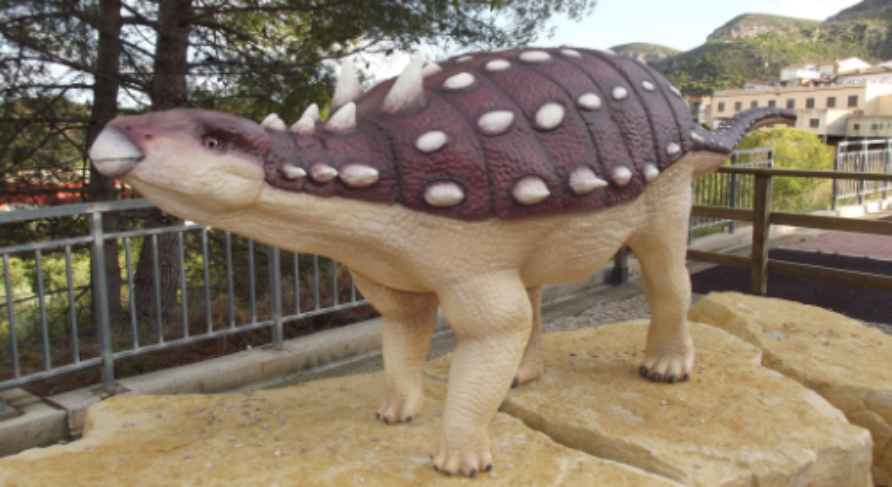
The José Martínez Royo Museum Collection is an exhibition space where visitors can get a closer look at the palaeontology and archaeology of Millares. A journey through the history of the planet, with special attention paid to the Cretaceous period that has special significance in the area, and through the history of Levantine and Schematic cave art which is so abundant in the region and has had World Heritage status since 1998. The three cave art sites that can be visited in the municipality (Los Chorradores, Vicent and Roser Rock Shelters) are exceptional thanks to the vividness of their paintings and their historical significance.
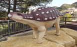
However, the most significant cultural space in Millares is undoubtedly the Tambuc Ichnological Site, with its dinosaur footprints concentrated into two large groups. This site has been declared an Asset of Cultural Interest and is part of the Valencian Community “Dinosaur Trails” (Camins de Dinosaures). A visit to the site is completed by going to see the Struthiosaurus replica in the town itself.
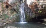
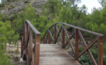
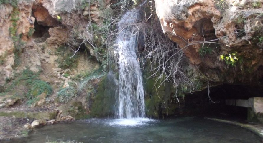
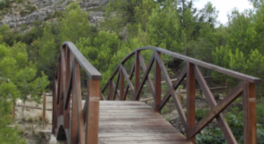
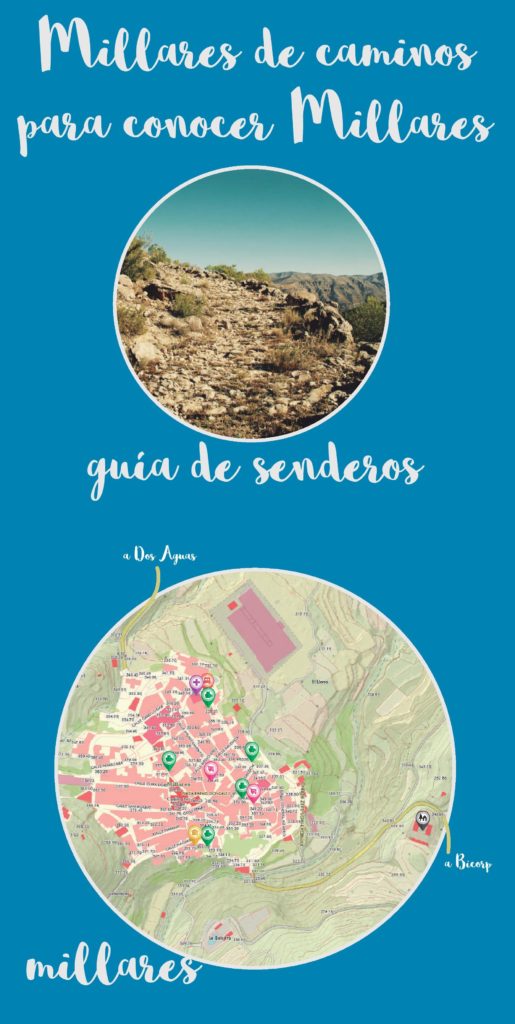
The network of local trails invites you to discover the natural and landscape heritage around Millares, dotted as it is with springs, mills, castles and outstanding vantage points. The Nacimiento Ravine Route, declared a route of local tourist interest in the Valencian Community, is a variant to the “Route of the Springs” and is perfectly equipped with a recreational area at the Fuente Las Donas spring and a vantage point at the Fuente de los Escalones spring. From the same route heading towards the Jucar river, passing El Castillet castle and descending towards the Molino de los Moros mill, the more adventurous can descend to the impressive 68-metre waterfall known as the Chorrador del Bosque or “The Monster” by following the Sansón path and crossing a scree slope.
The typical cuisine includes cold meats, varied baked goods, along with rice dishes, mojetes (a type of salad), gachas (a traditional dish made from flour, water, olive oil, garlic and salt) and gazpachos (tomato-based stew) that are the main delicacies served at the local festivities. These include two celebrations named Festivals of Local Tourist Interest in the Valencian Community: the Easter and patron saint festivals devoted to the Christ of Health and San Roque (August) and San Blas, the patron saint of Millares, in whose honour festive events are organised on 3 February.