Tourist Info Anna

Tourist Info Quesa

Fuente del Abrullador recreational area (Chella)

Chella

Fuente del Abrullador recreational area (Chella)

The source of the Abrullador lies five kilometres from the town in a tunnel or excavated hole that penetrates 180 metres into the depths of the mountain. The water that is conveyed is held behind a small dam that discharges the water into the Acequia Madre or main irrigation channel, a construction from the 18th-19th centuries which distributes water over 3 km across the 117 hectares of the irrigated region of Chella. The Council and the Las Viñas Irrigation Community divide the use of its waters in the following way: 88.43 l/s for the Community and 9 l/s for the municipal supply.

During the autumn and winter months a large quantity of water flows into the El Abrullador ravine, supplying a pool built in the 90s so its waters can be used in the summer months, and the excess water is discharged into the Sellent river, a tributary of the Júcar river.

We invite you to enjoy the recreational area adjacent to El Abrullador, equipped with all the services, and surrounded by a Mediterranean forest, alternating with rainfed crops, terraced with drystone walls that have made the mamposteros or stone workers of Chella famous, and unique constructions such as the cucos or drystone huts that you will find in the area.

The site can be accessed on foot by following the PR-CV 113, which departs from La Fuente Park.

How to get

Other places that may interest you

Pico Caroche (Bicorp)

The Caroche or Caroig peak is a mountain of 1,126 meters, located in Teresa de Cofrentes, Spain. It is situated
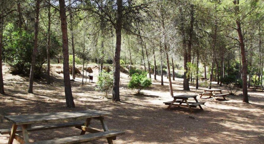
Estubeny

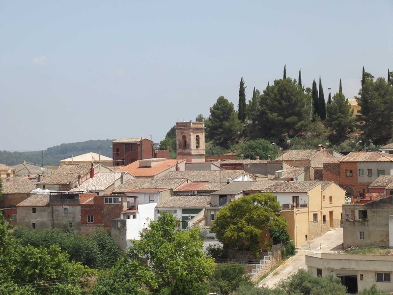
Estubeny, located in the interior of the province of Valencia, is an inland destination that hides a unique natural space,

Anna

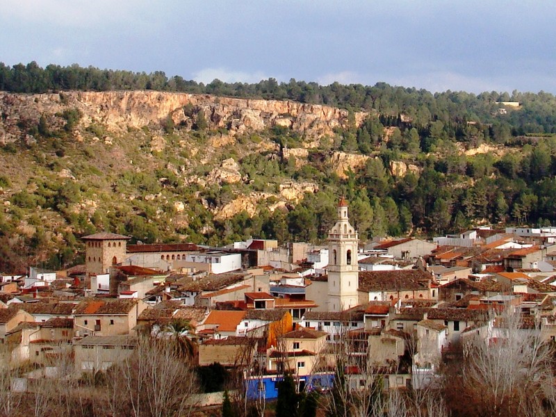
Anna is a beautiful municipality in the Canal de Navarrés, well known for its Anna Lake, a lagoon surrounded by

Contact us

Do not hesitate to contact us for any further information.