
Frutas y Verduras Rachid (Anna)
Frutas y Verduras Rachid ofrece una propuesta centrada en el producto fresco y en la atención cercana. Un establecimiento pensado
This is a 6,120 m long linear trail with low difficulty. It starts at Cantalavieja and is accessible from the road of the same name. The Cantalavieja trail follows the old access road for the construction of a dam in the middle section of the ravine, which you will find 2,700 meters upstream.
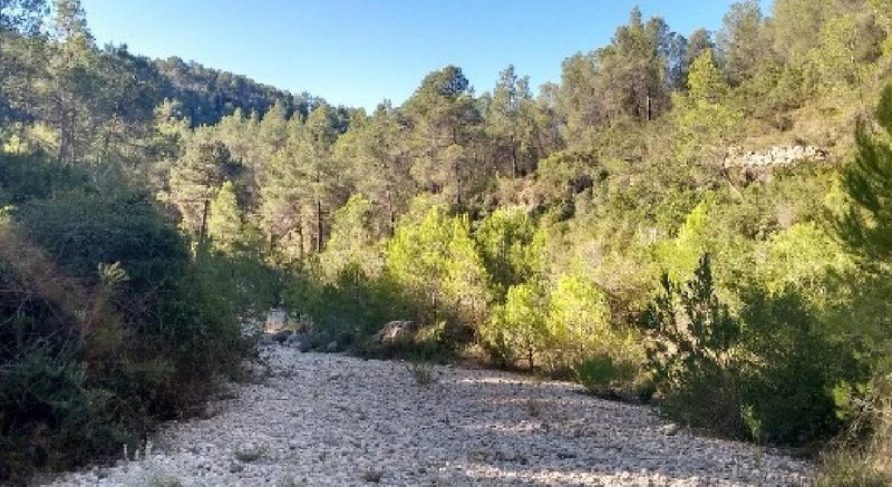
The trail runs along the ravine bed and its banks, in a changing route due to the ravine’s floods, but without getting lost. The hiker is accompanied by lush vegetation predominantly of Aleppo pine, and there are preserved old farmlands protected by dry stone walls. It is not suitable for hiking during heavy rainy seasons.
With a maximum altitude of 458 meters above sea level and a minimum of 382 meters above sea level, it has a vertical drop of 282 meters.
Frutas y Verduras Rachid ofrece una propuesta centrada en el producto fresco y en la atención cercana. Un establecimiento pensado
Con 36 años de experiencia, Frutería Reme es un comercio de confianza donde la frescura del producto marca su identidad.
Very pleasant route, a 23 km ‘stroll’, ideal for gravel and gentle mountain biking. Without significant slopes, tracks in good
With this route, you can explore the mountains of the Macizo del Caroig and the Muela de Cortes by bike.
Do not hesitate to contact us for any further information.